Geolocate

Sahabad topographic map

Click on the map to display elevation.

About this map

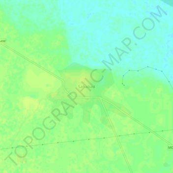
Name: Sahabad topographic map, elevation, terrain.

Location: Sahabad, Shahabad, Rampur, Uttar Pradesh, 244922, India (28.54580 78.98934 28.58580 79.02934)

Average elevation: 183 m

Minimum elevation: 175 m

Maximum elevation: 188 m

Gear up for your next adventure:

🎒Hiking Daypack - Lightweight and durable backpacks for day trips and excursions
🔭Outdoor Binoculars - Lightweight binoculars for birdwatching and hiking
🥾Hiking Boots - Sturdy boots providing ankle support and traction on rugged trails
🥾Mountain Hiking Shoes - Shoes with superior grip for mountainous terrain
🔦LED Headlamp - Hands-free lighting for early morning starts or late finishes

As an Amazon Associate, this site earns from qualifying purchases at no extra cost to you.