Geolocate

Bass Lake topographic map

Click on the map to display elevation.

About this map

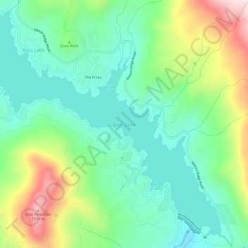
Name: Bass Lake topographic map, elevation, terrain.

Location: Bass Lake, Madera County, California, United States (37.28973 -119.58011 37.33201 -119.52228)

Average elevation: 1,153 m

Minimum elevation: 971 m

Maximum elevation: 1,553 m

Gear up for your next adventure:

Family Camping Tent - Spacious tent suitable for family camping trips
🕯️Camping Lantern - Illuminates your entire campsite with high-efficiency LEDs
🪑Insulated Seat Pad - Protect your seat from cold rocks and wet logs
🥾Mountaineering Boots - Supportive boots for climbing and high-altitude hiking
👟Sport Hiking Sandals - Breathable footwear for water crossings and camp rest

As an Amazon Associate, this site earns from qualifying purchases at no extra cost to you.