
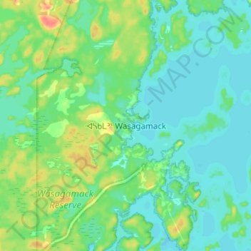
Wasagamack topographic map
Interactive map
Click on the map to display elevation.
About this map
Name: Wasagamack topographic map, elevation, terrain.
Location: Wasagamack, Manitoba, Canada (53.86830 -94.98580 53.94830 -94.90580)
Average elevation: 236 m
Minimum elevation: 224 m
Maximum elevation: 268 m