Geolocate

Mooloolah Valley topographic map

Click on the map to display elevation.

About this map

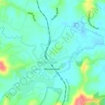
Name: Mooloolah Valley topographic map, elevation, terrain.

Location: Mooloolah Valley, Mooloolah, Queensland, 4554, Australia (-26.77250 152.95333 -26.75250 152.97333)

Average elevation: 42 m

Minimum elevation: 21 m

Maximum elevation: 117 m

Gear up for your next adventure:

🗺️Topographic Maps - Detailed maps to explore trails, mountains, and wilderness areas
🧥Softshell Hiking Jacket - The perfect balance of wind protection and breathability
🥾Mountaineering Boots - Supportive boots for climbing and high-altitude hiking
🪑Ultralight Camping Stool - Compact seating for rest stops during long hikes
🥾Waterproof Hiking Shoes - Durable shoes for wet and rugged trails

As an Amazon Associate, this site earns from qualifying purchases at no extra cost to you.