
Tỉnh Sơn La topographic map
Interactive map
Click on the map to display elevation.
About this map
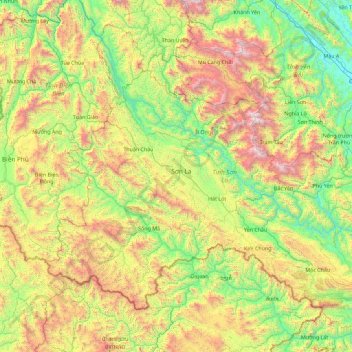
Name: Tỉnh Sơn La topographic map, elevation, terrain.
Location: Tỉnh Sơn La, Vietnam (20.57300 103.21226 22.03070 105.02531)
Average elevation: 858 m
Minimum elevation: 35 m
Maximum elevation: 2,862 m