
Garon topographic map
Interactive map
Click on the map to display elevation.
About this map
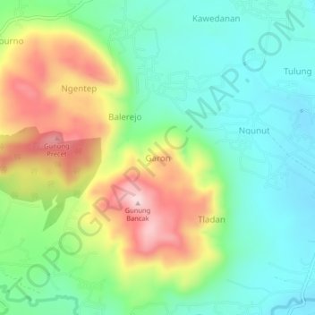
Name: Garon topographic map, elevation, terrain.
Location: Garon, Magetan, Jawa Timur, Indonésie (-7.73397 111.37640 -7.69397 111.41640)
Average elevation: 214 m
Minimum elevation: 103 m
Maximum elevation: 415 m