Geolocate

Frazee topographic map

Click on the map to display elevation.

About this map

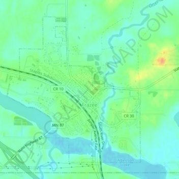
Name: Frazee topographic map, elevation, terrain.

Location: Frazee, Becker County, Minnesota, 56502, United States (46.71913 -95.71836 46.74109 -95.68893)

Average elevation: 424 m

Minimum elevation: 412 m

Maximum elevation: 448 m

Gear up for your next adventure:

👖Convertible Hiking Pants - Zip-off legs to adapt to changing weather conditions
💡Compact LED Flashlight - Powerful and portable flashlight for outdoor use
👟Trail Running Shoes - Agile footwear for fast-paced topographic exploration
🧼Biodegradable Camp Soap - Environmentally friendly cleaning for gear and body
🧢Outdoor Visor - Breathable visor for sunny hikes

As an Amazon Associate, this site earns from qualifying purchases at no extra cost to you.