
Babine Range topographic map
Click on the map to display elevation.
About this map
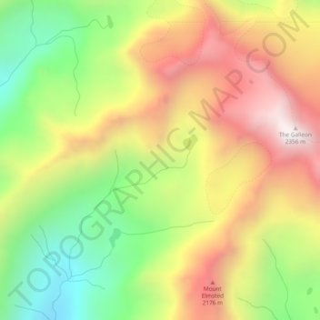
Name: Babine Range topographic map, elevation, terrain.
Average elevation: 1,893 m
Minimum elevation: 1,422 m
Maximum elevation: 2,380 m
Other topographic maps
Click on a map to view its topography, its elevation and its terrain.
Louise Lake
Canada > British Columbia > Regional District of Bulkley-Nechako > Area A (Hudson Bay Mountain)
Average elevation: 1,033 m
Louise Lake
Canada > British Columbia > Regional District of Bulkley-Nechako > Area A (Hudson Bay Mountain)
Average elevation: 1,033 m