
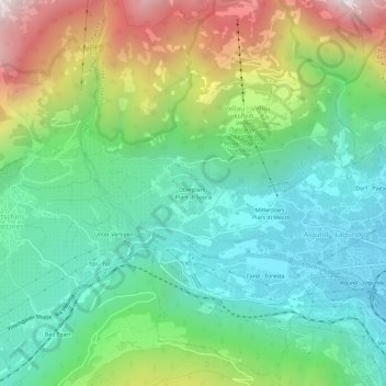
Oberplars - Plars di Sopra topographic map
Interactive map
Click on the map to display elevation.
About this map
Name: Oberplars - Plars di Sopra topographic map, elevation, terrain.
Average elevation: 786 m
Minimum elevation: 319 m
Maximum elevation: 1,772 m