Geolocate

Dharar topographic map

Click on the map to display elevation.

About this map

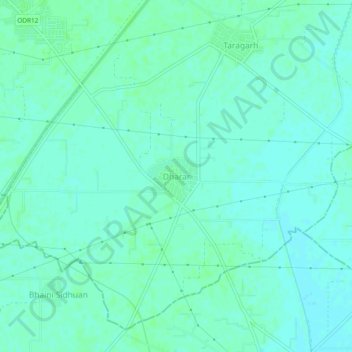
Name: Dharar topographic map, elevation, terrain.

Location: Dharar, Amritsar II Tahsil, Amritsar, Punjab, 143115, India (31.51449 75.03467 31.55449 75.07467)

Average elevation: 235 m

Minimum elevation: 231 m

Maximum elevation: 238 m

Gear up for your next adventure:

🔨Vehicle Emergency Tool - Safety tool for remote road trips to trailheads
🧥Softshell Hiking Jacket - The perfect balance of wind protection and breathability
🪑Insulated Seat Pad - Protect your seat from cold rocks and wet logs
🥤Collapsible Travel Cup - Saves space and weight in your mess kit
🧦Hiking Liner Socks - Thin base layer to prevent friction and blisters

As an Amazon Associate, this site earns from qualifying purchases at no extra cost to you.