
Bismarck topographic map
Click on the map to display elevation.
About this map
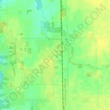
Name: Bismarck topographic map, elevation, terrain.
Location: Bismarck, Vermilion County, Illinois, 61811, United States (40.25267 -87.62085 40.26732 -87.60203)
Average elevation: 206 m
Minimum elevation: 194 m
Maximum elevation: 214 m
Other topographic maps
Click on a map to view its topography, its elevation and its terrain.
Middle Fork State Fish and Wildlife Area
United States > Illinois > Vermilion County
Average elevation: 206 m