Geolocate

Sunderpur topographic map

Click on the map to display elevation.

About this map

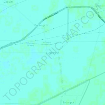
Name: Sunderpur topographic map, elevation, terrain.

Location: Sunderpur, Narwana, Jind, Haryana, India (29.54388 76.06811 29.58388 76.10811)

Average elevation: 227 m

Minimum elevation: 225 m

Maximum elevation: 230 m

Gear up for your next adventure:

💧Hydration Bladder - Hands-free hydration solution for long treks
🧢Hiking Sun Hat - Wide-brimmed protection for exposed mountain ridges
🛶Kayak Dry Bag - Waterproof storage for kayaking adventures
🥾Trekking Poles - Adjustable trekking poles to reduce knee stress and improve stability
Lightweight Camping Tent - Portable shelter optimized for Canadian backcountry camping

As an Amazon Associate, this site earns from qualifying purchases at no extra cost to you.