Geolocate

Coulter topographic map

Click on the map to display elevation.

About this map
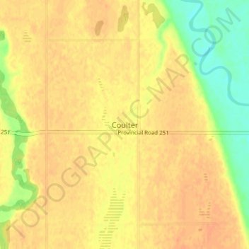
Name: Coulter topographic map, elevation, terrain.

Location: Coulter, Municipality of Two Borders, Manitoba, Canada (49.06944 -101.00467 49.10944 -100.96467)

Average elevation: 449 m

Minimum elevation: 425 m

Maximum elevation: 459 m

Municipality of Two Borders trails, hiking, mountain biking, running and outdoor activities

Gear up for your next adventure:

🥾Trekking Boots - Durable boots for long-distance trekking
🧥Softshell Hiking Jacket - The perfect balance of wind protection and breathability
💧Collapsible Water Bottle - Space-saving water bottle for outdoor activities
🧢Beanie Hat - Keep your head warm in cold weather
🔭Compact Binoculars - Lightweight optics for scouting trails and wildlife

As an Amazon Associate, this site earns from qualifying purchases at no extra cost to you.