Geolocate

Wenisbuch topographic map

Click on the map to display elevation.

About this map

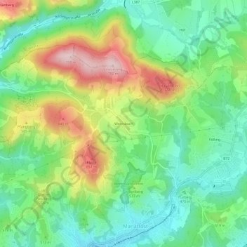
Name: Wenisbuch topographic map, elevation, terrain.

Location: Wenisbuch, Mariatrost, Graz, Styria, 8044, Austria (47.09830 15.45732 47.13830 15.49732)

Average elevation: 508 m

Minimum elevation: 399 m

Maximum elevation: 697 m

Gear up for your next adventure:

Camping Groundsheet - Protect your tent from moisture and dirt
👟Sport Hiking Sandals - Breathable footwear for water crossings and camp rest
🥾Approach Boots - Comfortable boots for hiking and climbing approaches
🧢Sun Protection Cap - Breathable cap to protect from sun exposure
💧Filtered Water Bottle - Safe drinking water on the go

As an Amazon Associate, this site earns from qualifying purchases at no extra cost to you.