Geolocate

Yalaha topographic map

Click on the map to display elevation.

About this map

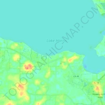
Name: Yalaha topographic map, elevation, terrain.

Location: Yalaha, Tavares, Lake County, Florida, 34797, United States (28.71038 -81.86304 28.78446 -81.78033)

Average elevation: 24 m

Minimum elevation: 14 m

Maximum elevation: 59 m

Gear up for your next adventure:

🧳Compression Sacks - Maximize space in your backpack by shrinking gear
🧦Merino Wool Socks - Moisture-wicking comfort for long-distance hiking
🧴Waterproofing Spray - Restore the DWR coating on jackets and tents
🧼Biodegradable Camp Soap - Environmentally friendly cleaning for gear and body
Lightweight Backpacking Tent - Compact tent for efficient hiking trips

As an Amazon Associate, this site earns from qualifying purchases at no extra cost to you.