Manlleu topographic map
Click on the map to display elevation.
Manlleu
Manlleu is located in a large plain, La Plana de Vic, at around 460 metres above sea level on average. The highest point is Puig Agut church at around 594 m above the sea level. It is surrounded by mountains with altitudes over 1000 m.
About this map
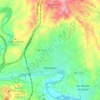
Name: Manlleu topographic map, elevation, terrain.
Location: Manlleu, Osona, Barcelona, Catalonia, 08560, Spain (41.98424 2.24323 42.03381 2.31094)
Average elevation: 491 m
Minimum elevation: 429 m
Maximum elevation: 591 m
Other topographic maps
Click on a map to view its topography, its elevation and its terrain.