Geolocate

Cardonal topographic map

Click on the map to display elevation.

About this map

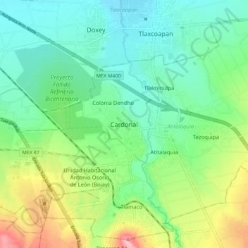
Name: Cardonal topographic map, elevation, terrain.

Location: Cardonal, Atitalaquia, Hidalgo, 42970, Mexico (20.02044 -99.27289 20.10044 -99.19289)

Average elevation: 2,111 m

Minimum elevation: 2,059 m

Maximum elevation: 2,230 m

Gear up for your next adventure:

🧰Multitool Knife - Compact and versatile tool for outdoor use
🧥Packable Rain Jacket - Breathable waterproof layer for unpredictable weather
🥾Waterproof Hiking Boots - Essential footwear for rugged terrain and wet Canadian trails
🧦Thermal Socks - Warm socks for winter hiking or camping
🥾Hiking Leggings - Comfortable leggings for outdoor activities

As an Amazon Associate, this site earns from qualifying purchases at no extra cost to you.