
Gajraulla Jai Singh topographic map
Interactive map
Click on the map to display elevation.
About this map
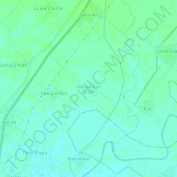
Name: Gajraulla Jai Singh topographic map, elevation, terrain.
Average elevation: 211 m
Minimum elevation: 207 m
Maximum elevation: 216 m
Other topographic maps
Click on a map to view its topography, its elevation and its terrain.
Madhupuri
India > Uttar Pradesh > Thakurdwara
Madhupuri, Thakurdwara, Moradabad, Uttar Pradesh, India
Average elevation: 217 m