Geolocate

Aranza topographic map

Click on the map to display elevation.

About this map
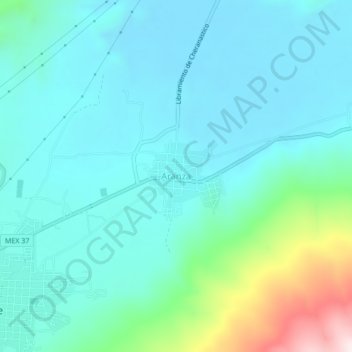
Name: Aranza topographic map, elevation, terrain.

Location: Aranza, Paracho, Michoacán, Mexico (19.64258 -102.04380 19.68258 -102.00380)

Average elevation: 2,259 m

Minimum elevation: 2,150 m

Maximum elevation: 2,749 m

Gear up for your next adventure:

🥾Hiking Leggings - Comfortable leggings for outdoor activities
🥾Approach Shoes - Shoes designed for climbing approaches and rugged trails
🥫Freeze-Dried Meals - Lightweight, high-calorie nutrition for multi-day treks
🧴Waterproofing Spray - Restore the DWR coating on jackets and tents
🥾Durable Hiking Shoes - Long-lasting shoes for frequent hiking

As an Amazon Associate, this site earns from qualifying purchases at no extra cost to you.