Geolocate

Cishan'erjiecun topographic map

Click on the map to display elevation.

About this map

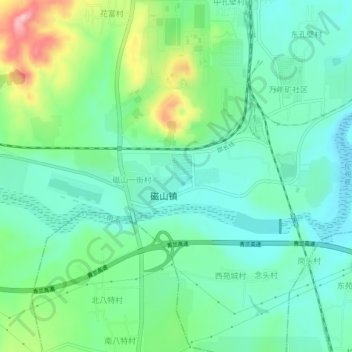
Name: Cishan'erjiecun topographic map, elevation, terrain.

Location: Cishan'erjiecun, Handan City, Wu'an City, Hebei, China (36.55681 114.08084 36.59681 114.12084)

Average elevation: 280 m

Minimum elevation: 233 m

Maximum elevation: 400 m

Gear up for your next adventure:

🦶Anti-Blister Balm - Prevents friction and hotspots during long ascents
🔦LED Headtorch - Bright and durable light for night activities
🌡️Emergency Mylar Blankets - Compact thermal protection for unexpected nights outdoors
💡Solar Camping Lamp - Eco-friendly lighting for campsites
🌬️Windproof Camp Stove - Efficient cooking even on exposed mountain peaks

As an Amazon Associate, this site earns from qualifying purchases at no extra cost to you.