Geolocate

Netarhat topographic map

Click on the map to display elevation.

About this map
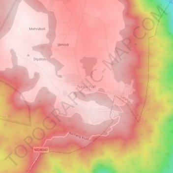
Name: Netarhat topographic map, elevation, terrain.

Location: Netarhat, Mahuadanr, Latehar, Jharkhand, 835218, India (23.45460 84.24776 23.49460 84.28776)

Average elevation: 1,033 m

Minimum elevation: 697 m

Maximum elevation: 1,132 m

Gear up for your next adventure:

🧥Waterproof Pants - Keep dry during rainy hiking conditions
🕯️Camping Lantern - Illuminates your entire campsite with high-efficiency LEDs
🧴First Aid Kit - Essential first aid supplies for outdoor emergencies
🥾Light Hiking Boots - Lightweight and comfortable boots for day hikes
🛁Quick-Dry Microfiber Towel - Space-saving towel that dries rapidly on the move

As an Amazon Associate, this site earns from qualifying purchases at no extra cost to you.