Geolocate

Wespelaar topographic map

Click on the map to display elevation.

About this map
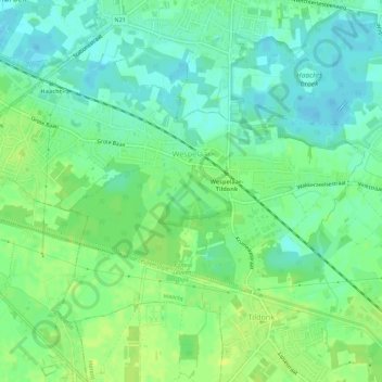
Name: Wespelaar topographic map, elevation, terrain.

Location: Wespelaar, Haacht, Leuven, Flemish Brabant, Belgium (50.94463 4.60382 50.96834 4.65848)

Average elevation: 11 m

Minimum elevation: 3 m

Maximum elevation: 19 m

Gear up for your next adventure:

🔭Outdoor Binoculars - Lightweight binoculars for birdwatching and hiking
🧣Merino Neck Gaiter - Protects against wind, sun, and cold at high altitudes
🕶️Polarized Sunglasses - Protect your eyes with durable polarized lenses
🔋Emergency Crank Radio - Weather alerts and power without needing batteries
🥾All-Terrain Hiking Boots - Versatile boots for varied hiking conditions

As an Amazon Associate, this site earns from qualifying purchases at no extra cost to you.