Geolocate

Kapadne topographic map

Click on the map to display elevation.

About this map

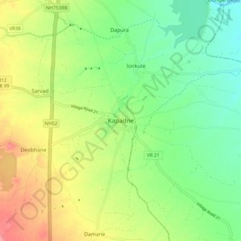
Name: Kapadne topographic map, elevation, terrain.

Location: Kapadne, Dhule, Dhule District, Maharashtra, India (20.99232 74.76909 21.07232 74.84909)

Average elevation: 232 m

Minimum elevation: 197 m

Maximum elevation: 283 m

Other topographic maps

Click on a map to view its topography, its elevation and its terrain.

Dhule

India > Maharashtra > Dhule

Average elevation: 348 m

Gear up for your next adventure:

🧴Sunscreen SPF - Broad-spectrum sunscreen for outdoor activities
🔥Emergency Fire Starter - Reliable ignition source for all weather conditions
Lightweight Camping Tent - Portable shelter optimized for Canadian backcountry camping
Camping Essentials - All-in-one gear for a comfortable camping trip
🛰️Satellite Messenger - Emergency communication for areas with no cell service

As an Amazon Associate, this site earns from qualifying purchases at no extra cost to you.