
Sa Đéc City topographic map
Interactive map
Click on the map to display elevation.
About this map
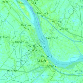
Name: Sa Đéc City topographic map, elevation, terrain.
Location: Sa Đéc City, Đồng Tháp Province, 81800, Vietnam (10.26133 105.70388 10.38316 105.78342)
Average elevation: 4 m
Minimum elevation: -2 m
Maximum elevation: 11 m
Other topographic maps
Click on a map to view its topography, its elevation and its terrain.
Phường 1
Vietnam > Dong Thap Province > Cao Lanh City > Phường 1
Phường 1, Cao Lanh City, Dong Thap Province, Vietnam
Average elevation: 6 m