
Tuiwa topographic map
Click on the map to display elevation.
Tuiwa
Tuiwa (Chinese: 推瓦村; pinyin: Tuīwǎ Cūn; Tibetan: མཐུད་བ་གྲོང་ཚོ་, ZYPY: Tüwa Chongco) is a village located in Daglung [zh] Town, Nagarzê County, Shannan, Tibet, located at the northeast shore of Lake Puma Yumco. Tuiwa is the second highest permanent settlement by elevation in the world, after La Rinconada, Peru.
About this map
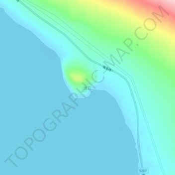
Name: Tuiwa topographic map, elevation, terrain.
Location: Tuiwa, Daglung, Nakartse County, Lhoka, Tibet, China (28.54713 90.50990 28.58713 90.54990)
Average elevation: 5,039 m
Minimum elevation: 5,010 m
Maximum elevation: 5,208 m