
Khon Khan topographic map
Interactive map
Click on the map to display elevation.
About this map
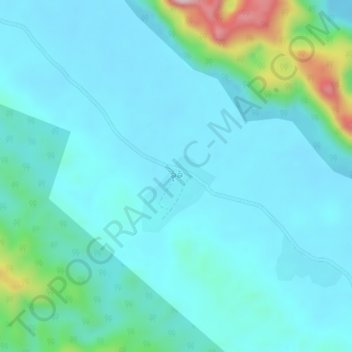
Name: Khon Khan topographic map, elevation, terrain.
Location: Khon Khan, Kawkareik District, Kayin, Myanmar (15.62538 98.03251 15.66538 98.07251)
Average elevation: 91 m
Minimum elevation: 30 m
Maximum elevation: 428 m