Geolocate

Basaseachi topographic map

Click on the map to display elevation.

About this map

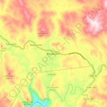
Name: Basaseachi topographic map, elevation, terrain.

Location: Basaseachi, Ocampo, Chihuahua, Mexico (28.16831 -108.24775 28.24831 -108.16775)

Average elevation: 2,108 m

Minimum elevation: 1,571 m

Maximum elevation: 2,541 m

Gear up for your next adventure:

🥾All-Terrain Hiking Boots - Versatile boots for varied hiking conditions
🧥Thermal Fleece Jacket - Versatile insulation for changing mountain temperatures
🥾Mountain Hiking Shoes - Shoes with superior grip for mountainous terrain
🧰Multitool Knife - Compact and versatile tool for outdoor use
🥾Hiking Boots - Sturdy boots providing ankle support and traction on rugged trails

As an Amazon Associate, this site earns from qualifying purchases at no extra cost to you.