
McKellar topographic map
Interactive map
Click on the map to display elevation.
About this map
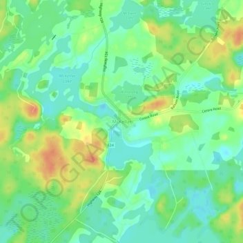
Name: McKellar topographic map, elevation, terrain.
Average elevation: 250 m
Minimum elevation: 234 m
Maximum elevation: 274 m
Other topographic maps
Click on a map to view its topography, its elevation and its terrain.
Manitouwabing Lake
Canada > Ontario > Parry Sound District > McKellar Township > McKellar
Manitouwabing Lake, McKellar, McKellar Township, Parry Sound District, Central Ontario, Ontario, P0G 1C0, Canada
Average elevation: 249 m