Geolocate

Urk topographic map

Click on the map to display elevation.

About this map

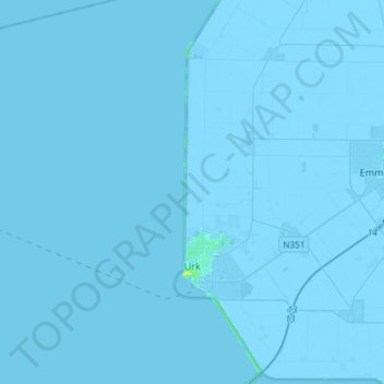
Name: Urk topographic map, elevation, terrain.

Location: Urk, Flevoland, Netherlands (52.63478 5.36115 52.76481 5.65538)

Average elevation: -1 m

Minimum elevation: -7 m

Maximum elevation: 10 m

Gear up for your next adventure:

🧊Insulated Water Bottle - Keeps drinks cold in summer and prevents freezing in winter
🧭GPS Tracker - Track your location in remote areas safely
❄️Traction Ice Cleats - Slip-on spikes for icy trails and winter hiking
🔦LED Headtorch - Bright and durable light for night activities
🧦Merino Wool Socks - Moisture-wicking comfort for long-distance hiking

As an Amazon Associate, this site earns from qualifying purchases at no extra cost to you.