
Sahrestan topographic map
Interactive map
Click on the map to display elevation.
About this map
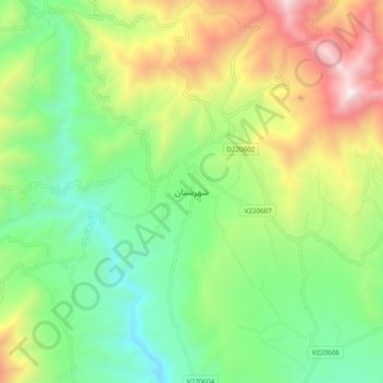
Name: Sahrestan topographic map, elevation, terrain.
Location: Sahrestan, Shahristan, Daykundi, Afghanistan (33.64971 66.51116 33.72971 66.59116)
Average elevation: 2,161 m
Minimum elevation: 1,596 m
Maximum elevation: 3,148 m