
Dalboșeț topographic map
Interactive map
Click on the map to display elevation.
About this map
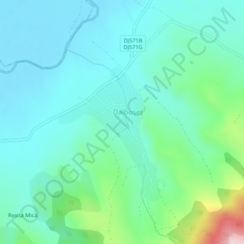
Name: Dalboșeț topographic map, elevation, terrain.
Location: Dalboșeț, Caraș-Severin, 327165, Rumänien (44.85329 21.94503 44.87234 21.96479)
Average elevation: 282 m
Minimum elevation: 219 m
Maximum elevation: 518 m
Other topographic maps
Click on a map to view its topography, its elevation and its terrain.