Geolocate

Mont Fort topographic map

Click on the map to display elevation.

About this map

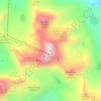
Name: Mont Fort topographic map, elevation, terrain.

Location: Mont Fort, Nendaz, Conthey, Wallis, 1997, Switzerland (46.08091 7.31862 46.08101 7.31872)

Average elevation: 2,892 m

Minimum elevation: 2,487 m

Maximum elevation: 3,319 m

Other topographic maps

Click on a map to view its topography, its elevation and its terrain.

Glacier Grand Désert

Switzerland > Wallis > Conthey > Nendaz

Average elevation: 2,921 m

Gear up for your next adventure:

🎒Backpack Rain Cover - External shield to keep your entire pack dry
🥾Trail Hiking Socks - Comfortable socks to prevent blisters and fatigue
Tent Footprint - Protect tent floor and increase durability
🥾Waterproof Hiking Shoes - Durable shoes for wet and rugged trails
🔥Emergency Fire Starter - Reliable ignition source for all weather conditions

As an Amazon Associate, this site earns from qualifying purchases at no extra cost to you.