
Darra topographic map
Interactive map
Click on the map to display elevation.
About this map
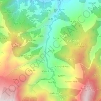
Name: Darra topographic map, elevation, terrain.
Location: Darra, Battagram District, Khyber Pakhtunkhwa, AP210, Pakistan (34.77592 73.06584 34.81592 73.10584)
Average elevation: 2,000 m
Minimum elevation: 1,478 m
Maximum elevation: 2,674 m