
Thank you for supporting this site ❤️
Make a donation
Make a donation
Gear up for your next adventure:
As an Amazon Associate, this site earns from qualifying purchases at no extra cost to you.
Chandrabhaga topographic map
Click on the map to display elevation.
Thank you for supporting this site ❤️
Make a donation
Make a donation
Gear up for your next adventure:
As an Amazon Associate, this site earns from qualifying purchases at no extra cost to you.
About this map
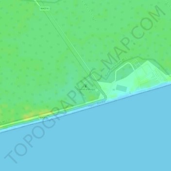
Name: Chandrabhaga topographic map, elevation, terrain.
Location: Chandrabhaga, NH316, Konark, Puri, Odisha, 752111, India (19.86779 86.10805 19.86789 86.10815)
Average elevation: 6 m
Minimum elevation: 0 m
Maximum elevation: 18 m
Thank you for supporting this site ❤️
Make a donation
Make a donation
Gear up for your next adventure:
As an Amazon Associate, this site earns from qualifying purchases at no extra cost to you.