Geolocate

Tina topographic map

Click on the map to display elevation.

About this map

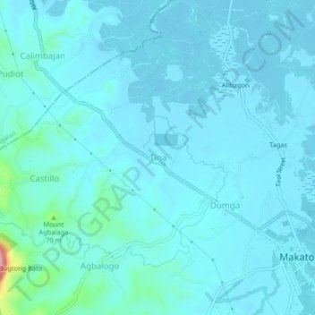
Name: Tina topographic map, elevation, terrain.

Location: Tina, Makato, Aklan, Western Visayas, Philippines (11.70426 122.25448 11.74426 122.29448)

Average elevation: 17 m

Minimum elevation: -2 m

Maximum elevation: 180 m

Gear up for your next adventure:

🧥Insulated Jacket - Keep warm in cold outdoor conditions
🧢Outdoor Cap - Protective cap for sun and rain during hikes
🧥Ultralight Puffy Jacket - Maximum warmth that packs down to the size of an orange
💧Collapsible Water Bottle - Space-saving water bottle for outdoor activities
🧦Crew Hiking Socks - Comfortable socks for long-distance hikes

As an Amazon Associate, this site earns from qualifying purchases at no extra cost to you.