Geolocate

Collpacotaña topographic map

Click on the map to display elevation.

About this map

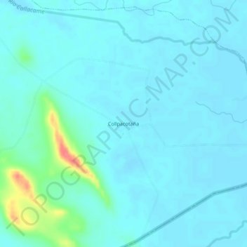
Name: Collpacotaña topographic map, elevation, terrain.

Location: Collpacotaña, Kelluyo, Chucuito, Puno, Perú (-16.71143 -69.12226 -16.67143 -69.08226)

Average elevation: 3,827 m

Minimum elevation: 3,818 m

Maximum elevation: 3,883 m

Gear up for your next adventure:

🥾Trail Running Boots - Durable shoes designed for trail running
🥾Hiking Shorts - Breathable shorts suitable for summer hikes
🎒Hiking Backpack - Lightweight and ergonomic backpacks for day hikes or multi-day treks
🧼Biodegradable Camp Soap - Environmentally friendly cleaning for gear and body
🚑Survival Whistle - Signal for help across long distances in mountains

As an Amazon Associate, this site earns from qualifying purchases at no extra cost to you.