
Ilminster topographic map
Interactive map
Click on the map to display elevation.
About this map
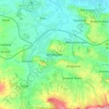
Name: Ilminster topographic map, elevation, terrain.
Location: Ilminster, Somerset, Zuidwest-Engeland, Engeland, TA19 0DL, VK (50.88672 -2.95028 50.96672 -2.87028)
Average elevation: 66 m
Minimum elevation: 12 m
Maximum elevation: 230 m