
Lac Gerta topographic map
Click on the map to display elevation.
About this map
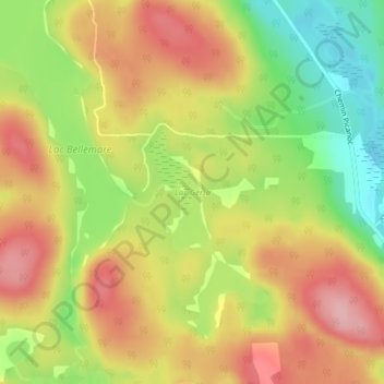
Name: Lac Gerta topographic map, elevation, terrain.
Location: Lac Gerta, Otter Lake, Pontiac, Outaouais, Quebec, Canada (45.88848 -76.46756 45.89725 -76.46093)
Average elevation: 268 m
Minimum elevation: 187 m
Maximum elevation: 336 m
Pontiac trails, hiking, mountain biking, running and outdoor activities