Geolocate

Huancay topographic map

Click on the map to display elevation.

About this map

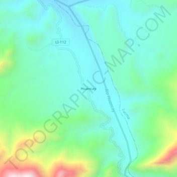
Name: Huancay topographic map, elevation, terrain.

Location: Huancay, Marmot, Gran Chimú, La Libertad, Perú (-7.62478 -78.70905 -7.58478 -78.66905)

Average elevation: 871 m

Minimum elevation: 699 m

Maximum elevation: 1,426 m

Gear up for your next adventure:

🧼Biodegradable Camp Soap - Environmentally friendly cleaning for gear and body
🧭Orienteering Kit - Tools for map reading and navigation in the wild
🥾Trail Hiking Boots - Supportive boots for rough trails
🧢Beanie Hat - Keep your head warm in cold weather
Backpacking Tent - Lightweight tent for long-distance hiking trips

As an Amazon Associate, this site earns from qualifying purchases at no extra cost to you.