
Bergland topographic map
Interactive map
Click on the map to display elevation.
About this map
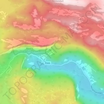
Name: Bergland topographic map, elevation, terrain.
Location: Bergland, Fyresdal, Telemark, Norway (59.22845 7.88681 59.26845 7.92681)
Average elevation: 713 m
Minimum elevation: 409 m
Maximum elevation: 1,025 m