Geolocate

Tolombón topographic map

Click on the map to display elevation.

About this map

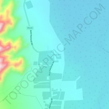
Name: Tolombón topographic map, elevation, terrain.

Location: Tolombón, Cafayate, Salta, Argentina (-26.20275 -65.95984 -26.16275 -65.91984)

Average elevation: 1,650 m

Minimum elevation: 1,589 m

Maximum elevation: 2,008 m

Gear up for your next adventure:

🥾All-Terrain Hiking Boots - Versatile boots for varied hiking conditions
🦟Insect Repellent - Keep mosquitoes and black flies away in wooded areas
🗺️Topographic Maps - Detailed maps to explore trails, mountains, and wilderness areas
🧊Insulated Water Bottle - Keeps drinks cold in summer and prevents freezing in winter
🔋Solar Power Bank - Keep your GPS and devices charged during long outdoor trips

As an Amazon Associate, this site earns from qualifying purchases at no extra cost to you.