Geolocate

Arco topographic map

Click on the map to display elevation.

Arco

Arco Peak, located two mile north of the community at an elevation of 7547 feet, rises 2220 feet above the city.

Wikipedia (CC-BY-SA 3.0)

About this map

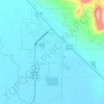
Name: Arco topographic map, elevation, terrain.

Location: Arco, Butte County, Idaho, 83213, United States (43.61681 -113.31116 43.64392 -113.29116)

Average elevation: 1,634 m

Minimum elevation: 1,613 m

Maximum elevation: 1,800 m

Gear up for your next adventure:

🪑Ultralight Camping Stool - Compact seating for rest stops during long hikes
🧥Waterproof Pants - Keep dry during rainy hiking conditions
🥾Hiking Gaiters - Protect legs and shoes from mud, snow, and debris
🔥Camping Stove - Portable stoves to cook outdoors with ease
🦶Anti-Blister Balm - Prevents friction and hotspots during long ascents

As an Amazon Associate, this site earns from qualifying purchases at no extra cost to you.