Geolocate

Whites Crossing topographic map

Click on the map to display elevation.

About this map

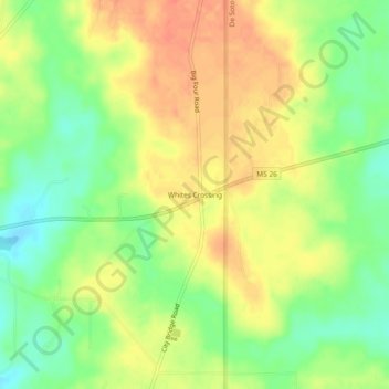
Name: Whites Crossing topographic map, elevation, terrain.

Location: Whites Crossing, Stone County, Mississippi, United States (30.82825 -89.06032 30.86825 -89.02032)

Average elevation: 70 m

Minimum elevation: 44 m

Maximum elevation: 91 m

Gear up for your next adventure:

🪑Insulated Seat Pad - Protect your seat from cold rocks and wet logs
🎒Hiking Backpack - Lightweight and ergonomic backpacks for day hikes or multi-day treks
🧤Thermal Hiking Gloves - Grip-enhanced gloves for cold-weather altitude trekking
🪜Heavy Duty Carabiners - Multi-use clips for securing gear to your backpack
💧Filtered Water Bottle - Safe drinking water on the go

As an Amazon Associate, this site earns from qualifying purchases at no extra cost to you.