Geolocate

Riesa topographic map

Click on the map to display elevation.

About this map

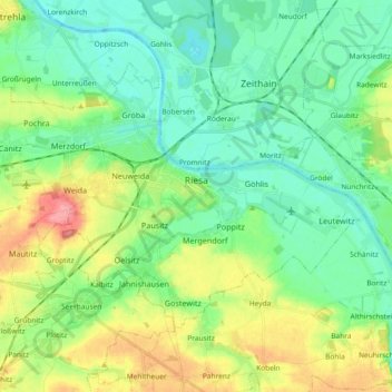
Name: Riesa topographic map, elevation, terrain.

Location: Riesa, Meißen, Saxony, Germany (51.25959 13.20312 51.33866 13.38800)

Average elevation: 112 m

Minimum elevation: 87 m

Maximum elevation: 165 m

Gear up for your next adventure:

🎒Hiking Backpack - Lightweight and ergonomic backpacks for day hikes or multi-day treks
🎒Fully Waterproof Backpack - Total protection for photography gear and electronics
🧴Outdoor Sunscreen - High SPF protection for high-altitude UV exposure
🧭GPS Outdoor Watch - Smart watch for navigation and fitness tracking in nature
🗺️Topographic Maps - Detailed maps to explore trails, mountains, and wilderness areas

As an Amazon Associate, this site earns from qualifying purchases at no extra cost to you.