Geolocate

Las Pircas topographic map

Click on the map to display elevation.

About this map

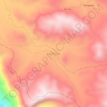
Name: Las Pircas topographic map, elevation, terrain.

Location: Las Pircas, Frías, Ayabaca, Piura, Perú (-4.99691 -79.84286 -4.95691 -79.80286)

Average elevation: 3,157 m

Minimum elevation: 2,523 m

Maximum elevation: 3,374 m

Gear up for your next adventure:

🕶️Polarized Sunglasses - Protect your eyes with durable polarized lenses
👟Leg Gaiters - Keep debris, mud, and snow out of your boots
🥾Lightweight Hiking Boots - Boots for comfort and mobility on long hikes
🧦Merino Wool Socks - Moisture-wicking comfort for long-distance hiking
🦟Insect Repellent - Keep mosquitoes and black flies away in wooded areas

As an Amazon Associate, this site earns from qualifying purchases at no extra cost to you.