Geolocate

Beting topographic map

Click on the map to display elevation.

About this map

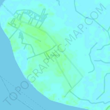
Name: Beting topographic map, elevation, terrain.

Location: Beting, Rangsang, Kepulauan Meranti, Riau, Sumatra, Indonesia (0.98770 102.79120 1.02770 102.83120)

Average elevation: 2 m

Minimum elevation: -1 m

Maximum elevation: 8 m

Other topographic maps

Click on a map to view its topography, its elevation and its terrain.

Kecamatan Merbau

Indonesia > Riau > Kepulauan Meranti

Average elevation: 5 m

Tasik Putri Puyu

Indonesia > Riau > Kepulauan Meranti

Average elevation: 14 m

Tebing Tinggi

Indonesia > Riau > Kepulauan Meranti

Average elevation: 3 m

Rangsang Barat

Indonesia > Riau > Kepulauan Meranti

Average elevation: 1 m

Gear up for your next adventure:

🥾Hiking Shorts - Breathable shorts suitable for summer hikes
🧳Compression Sacks - Maximize space in your backpack by shrinking gear
🚲Heavy Duty Bike Lock - Secure your bike at the trailhead or during stops
Camping Coffee Maker - Brew fresh coffee anywhere on the topographic map
🧥Softshell Jacket - Windproof and breathable jacket for hiking

As an Amazon Associate, this site earns from qualifying purchases at no extra cost to you.