Geolocate

Xhoffraix topographic map

Click on the map to display elevation.

About this map

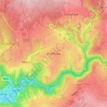
Name: Xhoffraix topographic map, elevation, terrain.

Location: Xhoffraix, Malmedy, Verviers, Liège, Wallonia, 4960, Belgium (50.43667 6.05020 50.47667 6.09020)

Average elevation: 507 m

Minimum elevation: 344 m

Maximum elevation: 605 m

Other topographic maps

Click on a map to view its topography, its elevation and its terrain.

Bévercé

Belgium > Liège > Verviers > Malmedy

Average elevation: 510 m

Rocher de Falize

Belgium > Liège > Verviers > Malmedy > Bévercé > Falize

Average elevation: 382 m

Gear up for your next adventure:

👖Convertible Hiking Pants - Zip-off legs to adapt to changing weather conditions
🔥Emergency Fire Starter - Reliable ignition source for all weather conditions
🚲Handlebar Phone Mount - View topographic-map.com live while cycling
🥾Lightweight Hiking Boots - Boots for comfort and mobility on long hikes
🧥Softshell Hiking Jacket - The perfect balance of wind protection and breathability

As an Amazon Associate, this site earns from qualifying purchases at no extra cost to you.