Geolocate

Wedgefield topographic map

Click on the map to display elevation.

About this map

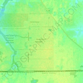
Name: Wedgefield topographic map, elevation, terrain.

Location: Wedgefield, Orange County, Florida, 32833, United States (28.45145 -81.13706 28.52120 -81.02692)

Average elevation: 20 m

Minimum elevation: 11 m

Maximum elevation: 26 m

Gear up for your next adventure:

🧦Thermal Socks - Warm socks for winter hiking or camping
🥾Lightweight Hiking Shoes - Comfortable shoes for day hikes
🧼Biodegradable Camp Soap - Environmentally friendly cleaning for gear and body
🧥Waterproof Jacket - Lightweight rain jackets for hiking and outdoor activities
🔥Emergency Fire Starter - Reliable ignition source for all weather conditions

As an Amazon Associate, this site earns from qualifying purchases at no extra cost to you.