
Tierrantona topographic map
Click on the map to display elevation.
Tierrantona
Tierrantona se encuentra en un llano de La Fueva, en la zona de baja altitud, en la margen derecha del barranco de Usía, a unos 3 km al sudeste del cerro de San Salvador y por tanto de donde acaba el antiguo término municipal de Rañín.
About this map
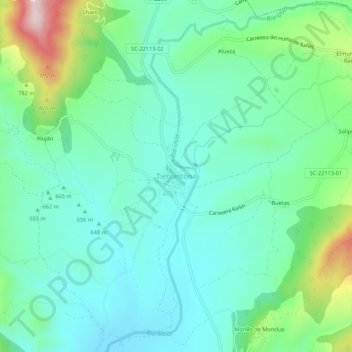
Name: Tierrantona topographic map, elevation, terrain.
Location: Tierrantona, La Fueva, Sobrarbe, Huesca, Aragón, 22336, España (42.35088 0.25181 42.39088 0.29181)
Average elevation: 685 m
Minimum elevation: 590 m
Maximum elevation: 976 m