Geolocate

Genting topographic map

Click on the map to display elevation.

About this map

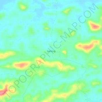
Name: Genting topographic map, elevation, terrain.

Location: Genting, Sandakan District, Sandakan Division, Sabah, Malaysia (5.62879 118.00509 5.66879 118.04509)

Average elevation: 26 m

Minimum elevation: 1 m

Maximum elevation: 96 m

Other topographic maps

Click on a map to view its topography, its elevation and its terrain.

Selingan Island

Malaysia > Sabah > Sandakan District

Average elevation: 0 m

Gear up for your next adventure:

🥾Light Trekking Boots - Supportive boots for multi-day treks
👟Trail Running Shoes - Agile footwear for fast-paced topographic exploration
💧Reusable Water Bottle - Durable water bottles for hydration on trails
🥾Hiking Leggings - Comfortable leggings for outdoor activities
🥾Mountain Hiking Boots - High-traction boots for rocky terrain

As an Amazon Associate, this site earns from qualifying purchases at no extra cost to you.